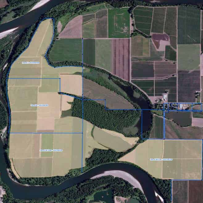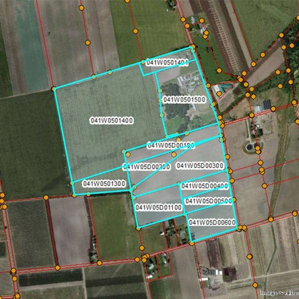
Agricultural Mapping using Machine Learning
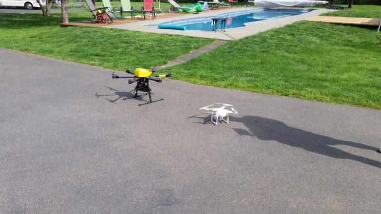
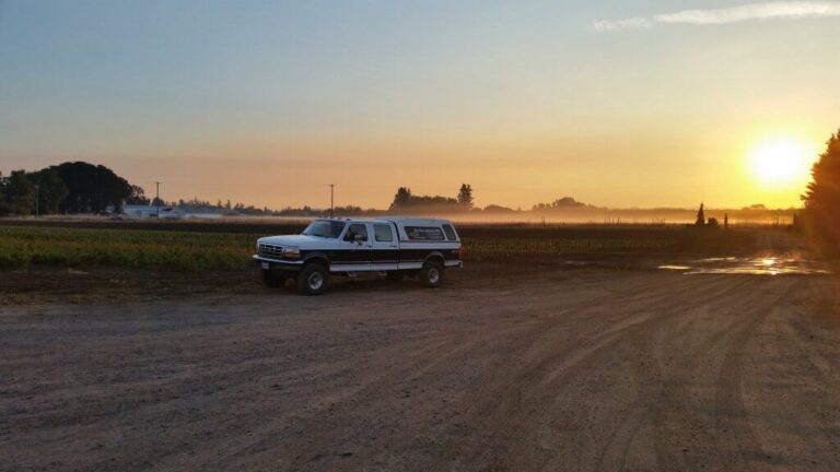
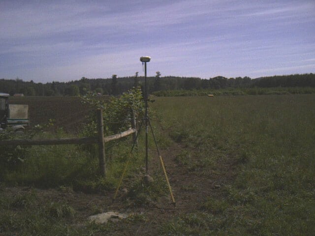
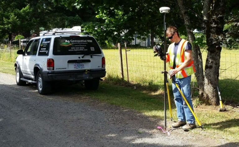
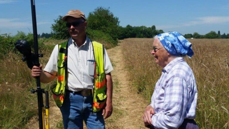
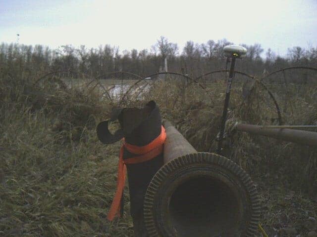
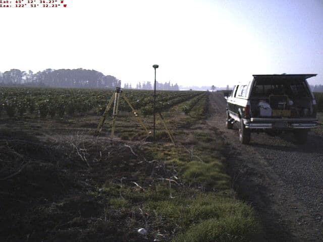
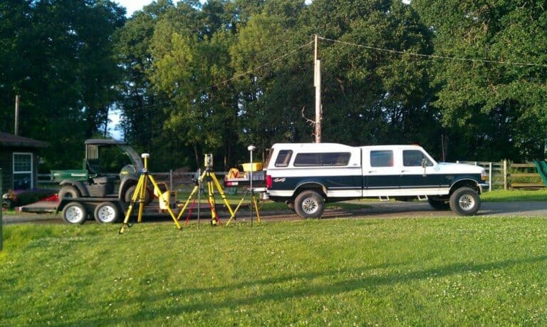
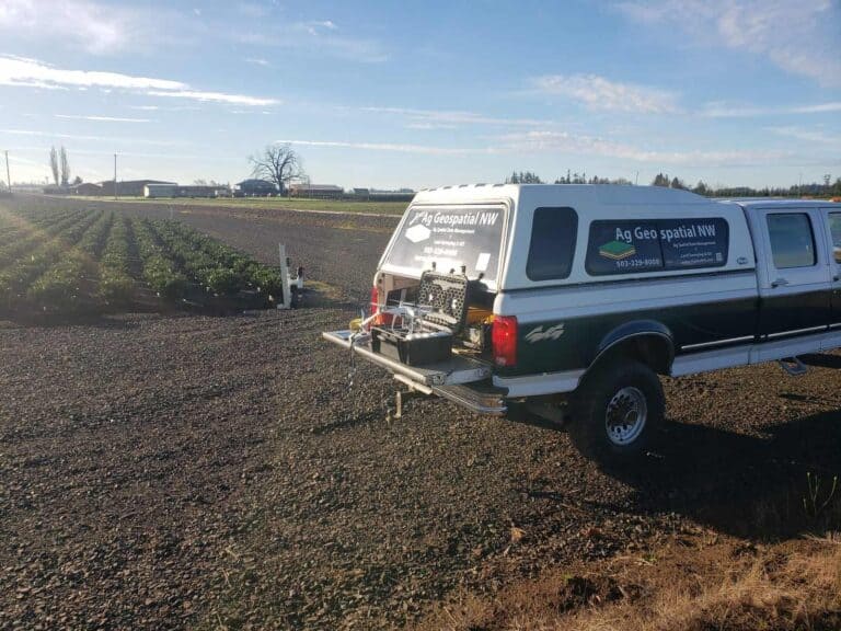
Here is a great project we have been working on and presented in a LinkedIn writeup by Paul Tice, of ToPa3D. https://www.linkedin.com/pulse/agricultural-mapping-using-machine-learning-topa3d More photos of fieldwork. The process is to set GCPs around the open beds, fly the area, GPS GCPs, and collect random pot center locations for checks. Open pots to map vary…