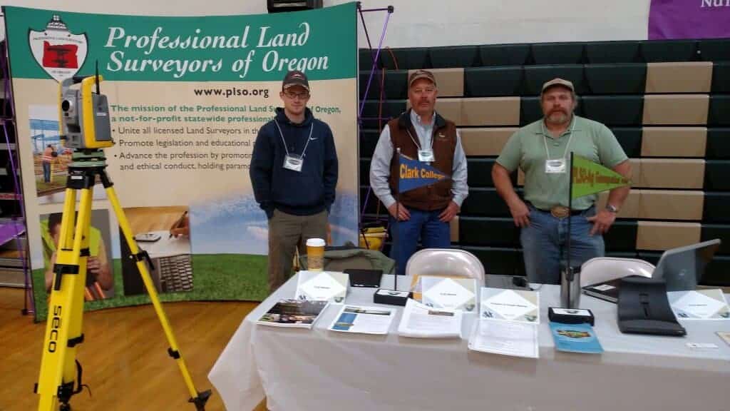
Land Surveying, GIS & Precision Ag Services
Registered Professional Land Surveyor providing Land Surveying and GIS to support rural properties, farms and ranches in the North Willamette Valley from Molalla, Oregon.
Supporting Precision Ag by helping setup, populate, organize and maintain Farming Ag database of land facts.
We provide Land Surveying and GIS to support rural properties, Farms and Ranches in the Northern Willamette Valley.
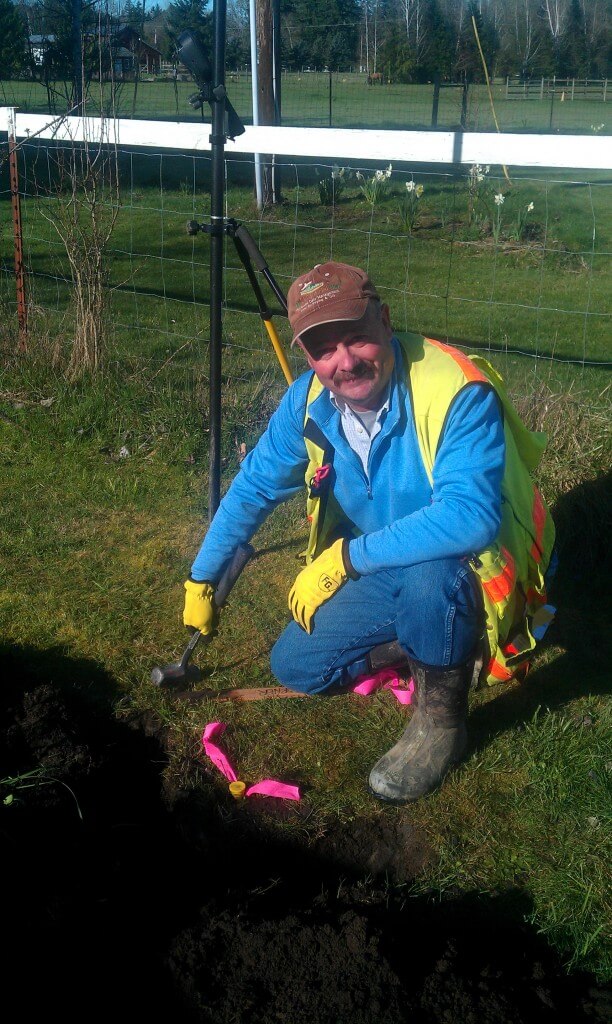
I am a Surveyor with 36+ years’ experience in all types of Land Surveying services. Boundary Surveys, Property Line Adjustments, Partitions, Measure 49, Construction staking, FEMA Elevation Certificates and more. Supporting Precision Ag by helping setup, populate, organize and maintain Farming Ag database of land facts. Creation of Farm and Ranch Mapbooks for overview of lands in use by location, reference name, address for safety measures and more.
We want to help review, setup, add to, organize and make useable Ag databases of land information so that efficiencies can be reviewed and incorporated for increased profitability.
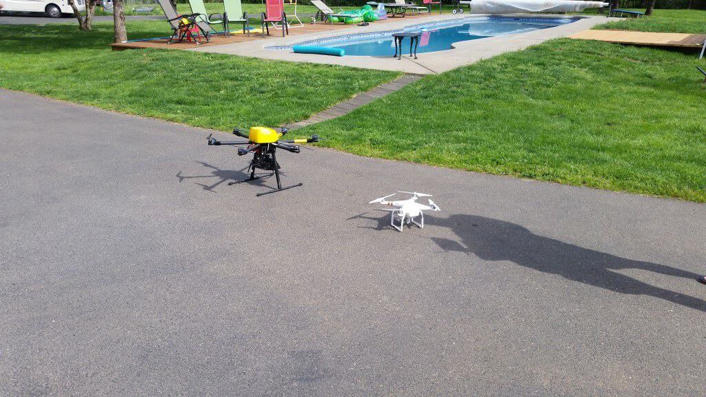
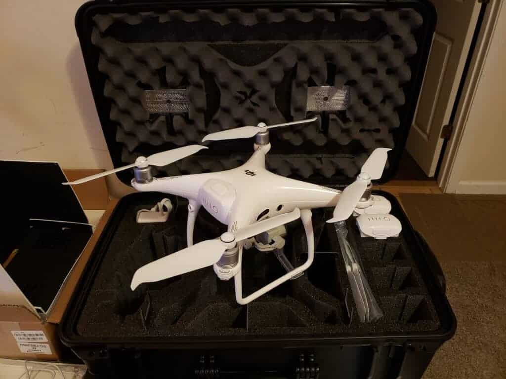
Basically farmers are using GPS to guide and drive tractors while also collecting info related to location, application, harvest, and more. What is missing is the middle process and overall step of putting this information together into a database along with supplementing the data with additional facts.
Ag Data Management software is basically GIS (Geographic Information System) which is a combination of facts by layers with a multitude of background facts in basically a spreadsheet that are georeferenced or spatial referenced. Georeferenced or spatial referenced basically means they can be located on the earth as in a GPS point or location.
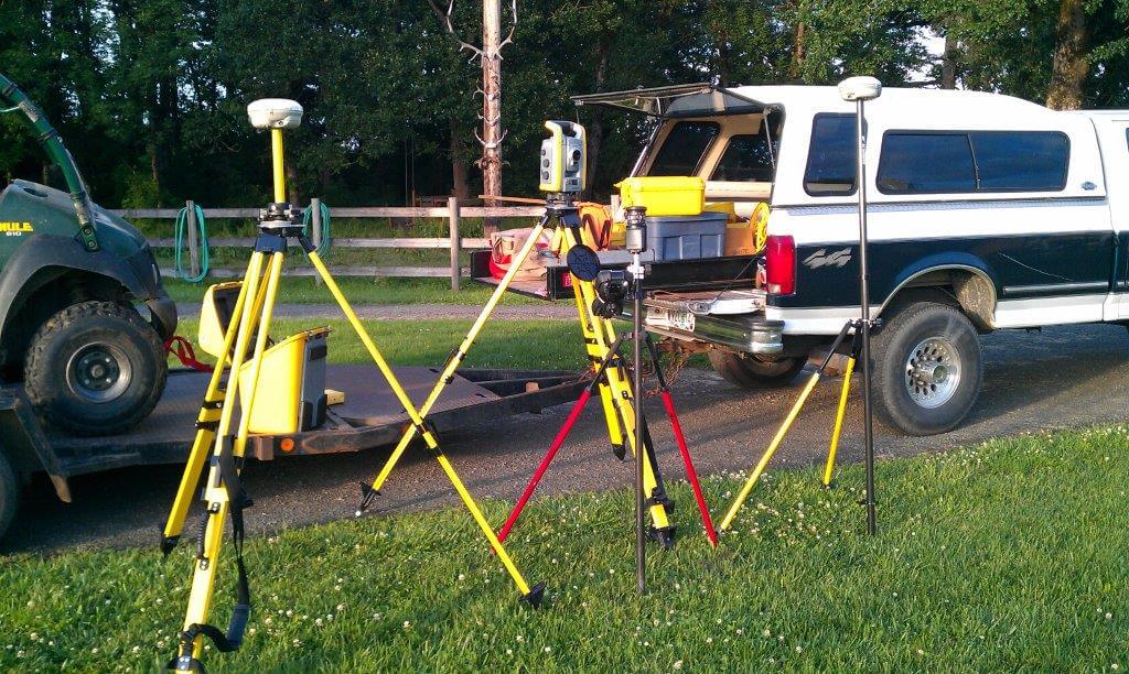
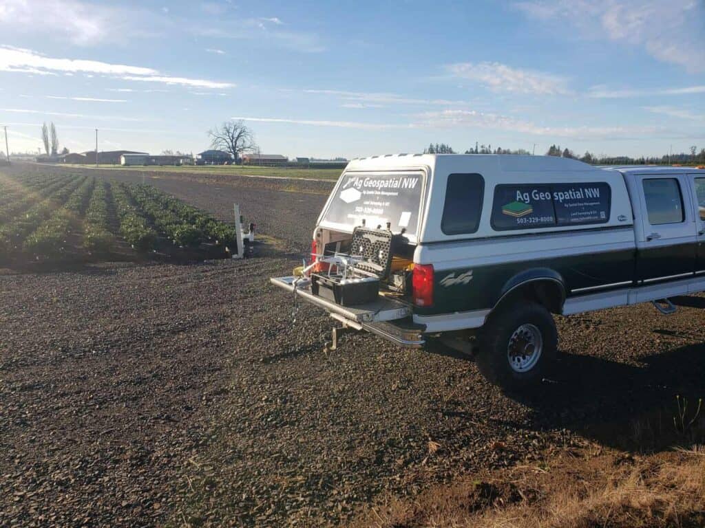
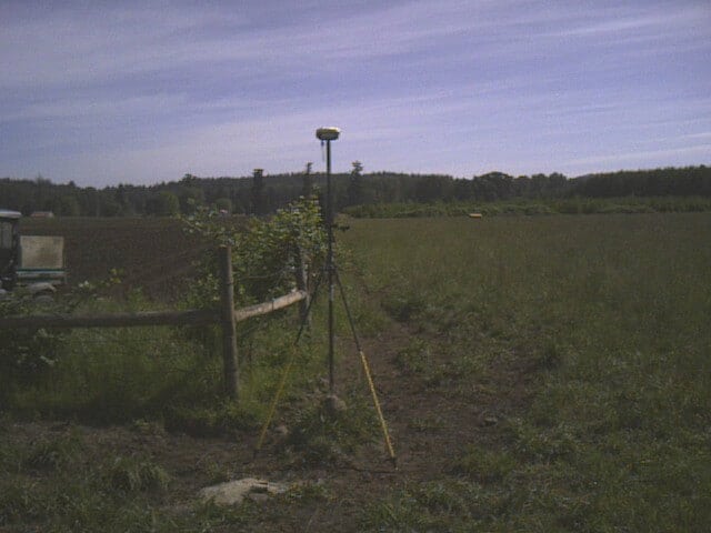
Surveying has been spatial referencing its data for years and something I have been involved in for 25+ years. This is where Ag Geospatial NW, LLC will provide services in Land Surveying and GIS.
A Surveyor with an extensive portfolio of 36+ years of Land Surveying experiences. This has included boundary resolution for residential, farms, commercial, roads and more; Property Line Adjustments (PLA), Partitions, Measure 49, FEMA Elevation Certificates and more. Deeds, easements, acquisitions review, creation of descriptions and staking of descriptions; Mapping by aerial, LiDAR, bathymetric, 3D scanning, and ground surveying along with construction staking for all of above.
The discipline of gathering, storing, processing and delivering geographic information, or spatially referenced information. “Geo” relates to the Earth; register places geographically or by location to the Earth. “Spatial” relates to space.
Geographic Information System – (GIS) is a system designed to capture, store, manipulate, analyze, manage, and present all types of geographical data.
Precision agriculture is about whole farm management with the goal of optimizing returns on inputs while preserving resources. It relies on new technologies like satellite imagery, information technology, and geospatial tools. It is also aided by farmers’ ability to locate their precise position in a field using GPS.