We have been blessed to have an extensive portfolio of Land Surveying experiences. We are a Land Surveyor firm based out of Molalla, Oregon. Serving communities like Molalla, Colton, Canby, Aurora, Hubbard, Donald, St Paul, Woodburn, Yoder, Monitor, Mt Angel, Silverton, Gervais, Brooks, Clackamas County, Marion County, Yamhill County, Polk County and more in the North Willamette Valley.
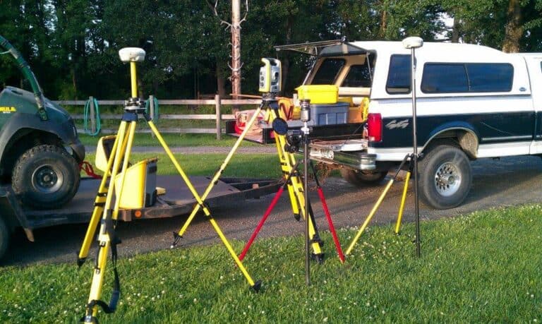
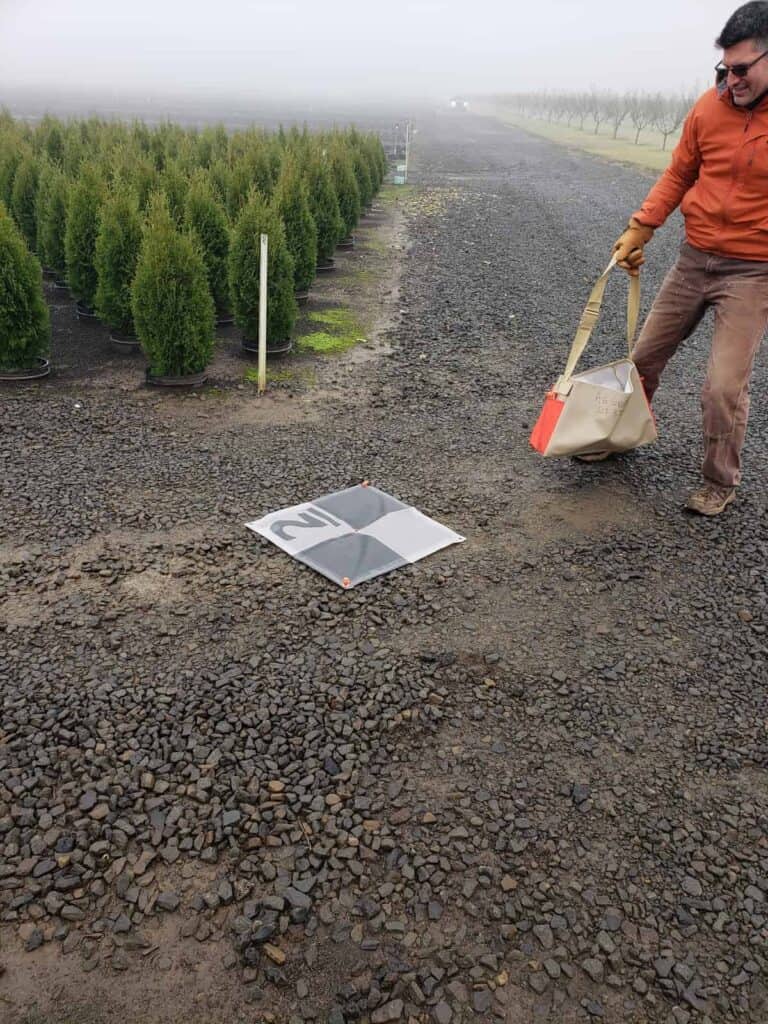
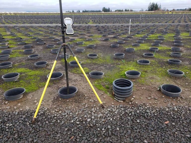
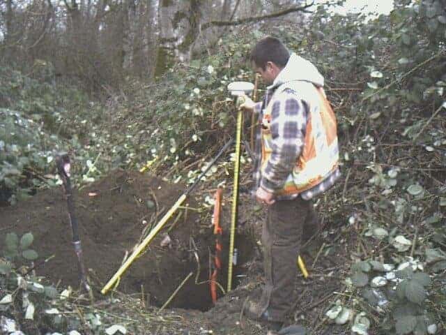
We have an extensive portfolio of 36+ years of Land Surveying experiences. This has included boundary resolution for residential, farms, commercial, roads and more; Boundary Line Agreemenets (BLA), Property Line Adjustments (PLA), Partitions, Measure 49, FEMA Elevation Certificates, FEMA LOMA and more. Deeds, easements, acquisitions review, creation of descriptions and staking of descriptions; Mapping by aerial, LiDAR, bathymetric, 3D scanning, and ground surveying. The use of DOGAMI LiDAR contour data, working with UAV or Drone data and more. This includes survey control by Total Stati on, GPS, and Leveling: mapping by aerial, LiDAR, bathymetric, 3D scanning, and ground surveying; working on clean and dirty water projects; utility mapping of all types; transportation projects from streets to roads to highways and freeways including roundabouts, bridges and light rail; Environmental sites for industrial development & investigation; wetland and plant studies; pipelines for sewer, gas and more; Along with construction staking for all of above.