

So what does Ag Geospatial NW really do?
Well for one thing I have been trying to do this post for the last 3 weeks, but glad to say too busy to get it done.
Here is a bit of what I did in one week’s time in early August.
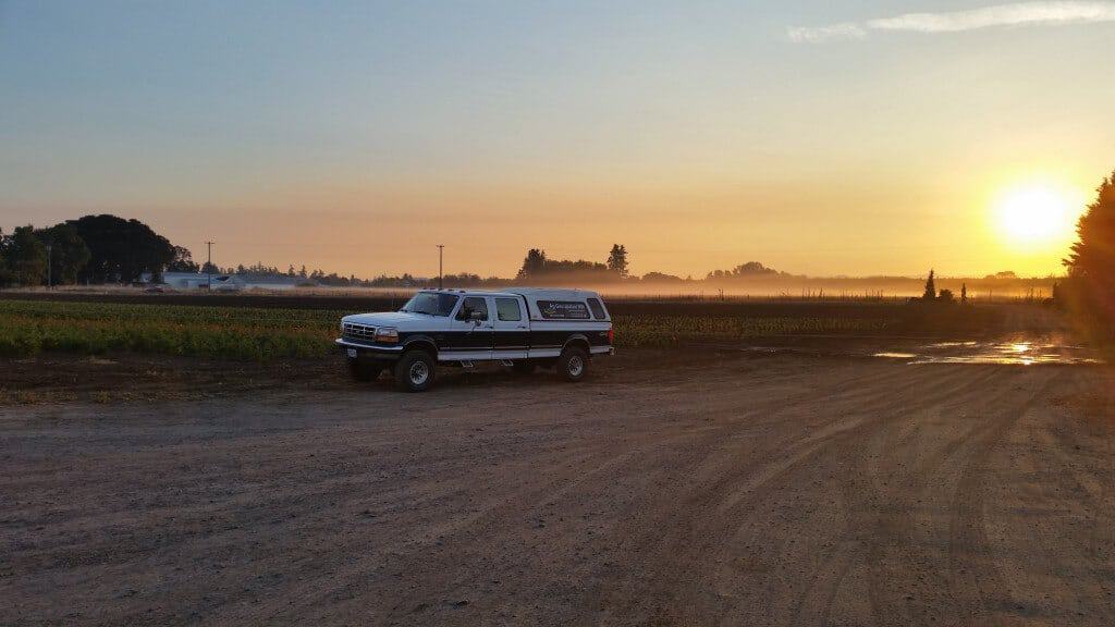
I started a week long adventure by being at a Canby Nursery at sunrise to enjoy the glory of this world and being outside.
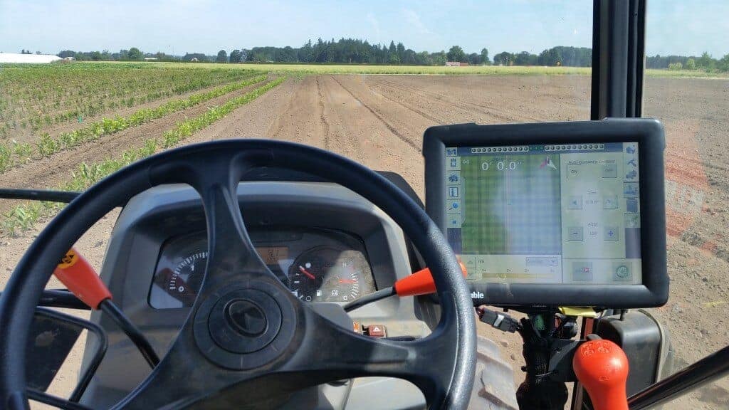
I was at the nursery to provide support for a tractor driving itself with GPS within a tolerance of 1″ and also creating a pulse to push a hydraulic piston to punch a mark in the dirt every 10″ for a crew to set a plant. Sorry, the really cool video of this whole process was too large for posting. The tractor was moving at 0.16 mph on rows approximately 1100 feet long so it took over one hour to cover planting at about 1300 plants per row. In three plantings since Fall of 2014 they have planted over 150,000 plants this way. I have also helped summarize the plant counts, variety counts and graphics of what has been planted. This is exciting to be a part of!
From there I headed to my next adventure.
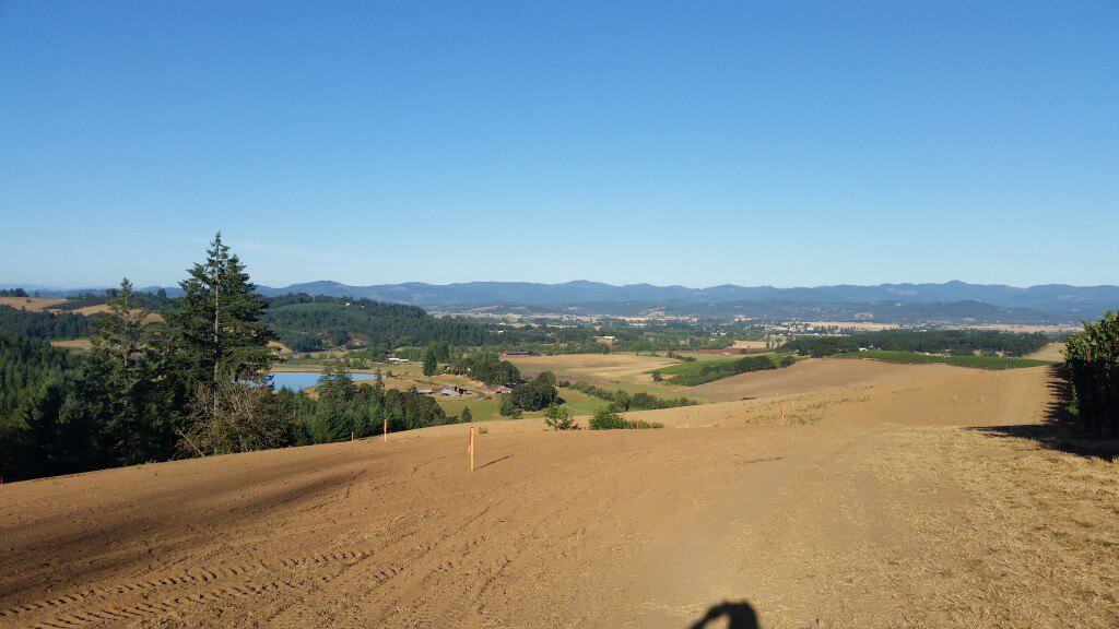
I am helping another Surveyor from Salem keep up with his busy workload. He has a project supporting the planting of a new vineyard in Yamhill. Approximately 120 acres of new vineyard on some very steep hills, but it makes for beautiful views into the Yamhill Valley and Coast Range. We set a stake every 48 feet downhill for plants and every 49 feet across the hill for rows. Then a crew stakes the plants at four feet spacing downhill and seven feet spacing across the hill pulling a stretchy rope with markers. They place a colored standard drinking straw in location of future plants. It is amazing to see the rows line up and color they project. The beauty does not show in the photo.
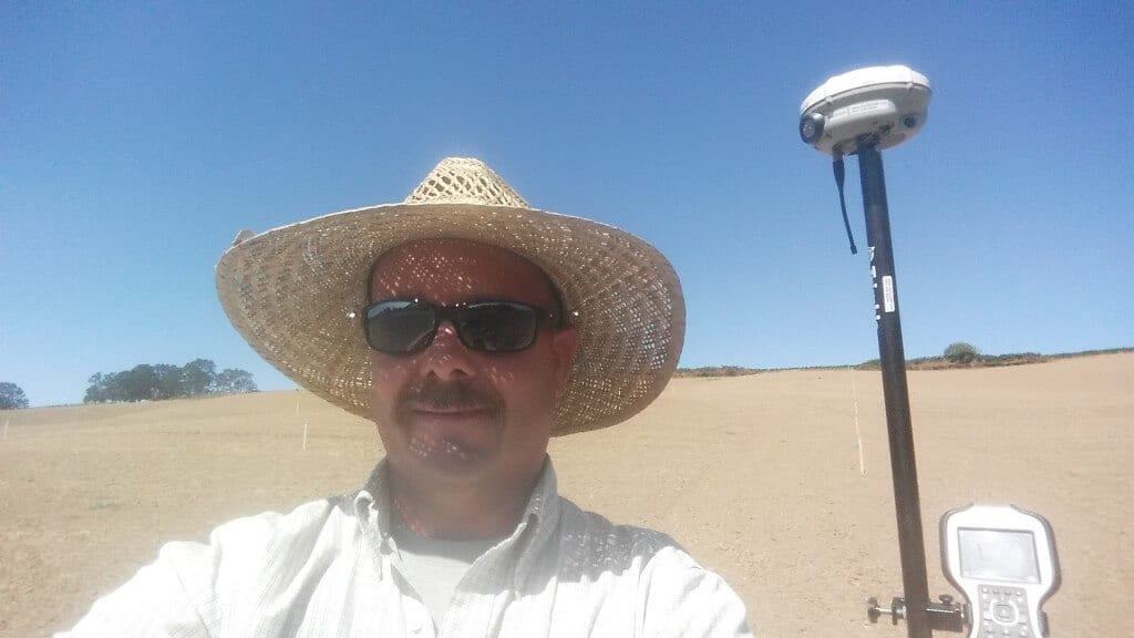
The sun was out and yes I need to start wearing a larger brim hat for sun protection!
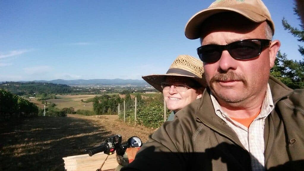
I even brought Kim out to help one day. Basically the hills are so steep that we stake walking downhill and then ride back to top on a four-wheeler.
Finally the last adventure of this series.
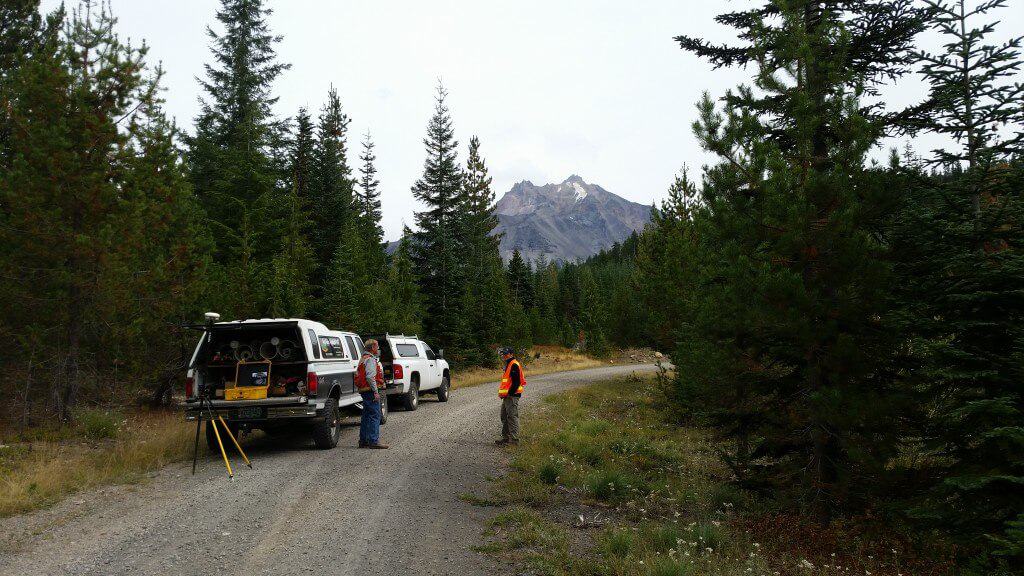
Again helping the Salem Surveyor with some extra GPS support on a project that is four miles as the crow flies, from this point, to peak of Mt Jefferson. The project went up to the Wilderness border and then approximately three miles downhill from there.
The bonus on the way out.
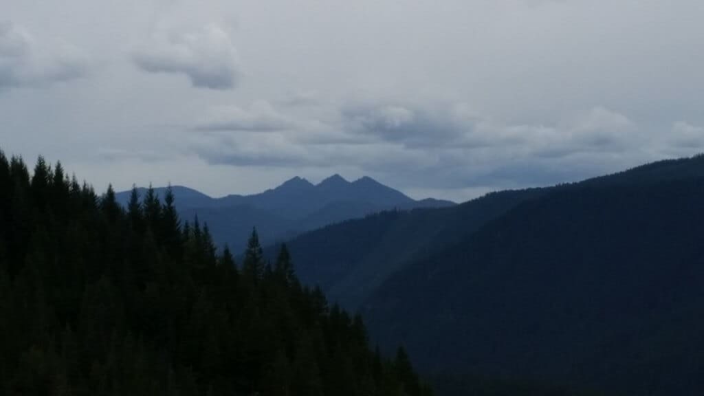
A view of Three Fingered Jack.
What a week and the reason us Surveyors love what we do and why I am blessed in my adventures!
Hope you get a chance to do what you love.