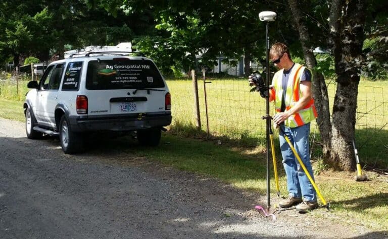
Skip to content
Ag Geospatial NWAg Geospatial NW
  • Home
  • AboutExpand
    • About Us
    • Our Projects
    • Our Blog
  • ServicesExpand
    • Services Overview
    • Land Surveying
    • Ag Data Management
    • Make A Payment
  • Resources
Contact Us
Ag Geospatial NW

Services

2014-07-18-10-Russell-cropped

Land Surveying

We are a Land Surveyor firm with over 30 years of experience, based out of Molalla, Oregon. We are blessed to have an extensive portfolio of Land Surveying experiences throughout the North Willamette Valley. This has included boundary resolution for residential, farms, commercial, roads and more.

Learn More
aggeonw_farm

Ag Data Management

Ag Data Management is a portion of Precision Ag. Right now, Precision Ag is thought to be mainly GPS on tractors for planting, spraying, working fields, harvesting, and more. What is missing is the collection or storage of the facts to be overlaid and reviewed with other facts related to the same field graphically.

Learn More
aggeonw_sticky
Facebook Linkedin RSS
  • Home
  • About Us
  • Services
  • Projects
  • Our Blog
  • Contact Us

© 2025 Ag Geospatial NW  |  Website powered by RPLS.io

  • Home
  • About
    • About Us
    • Our Projects
    • Our Blog
  • Services
    • Services Overview
    • Land Surveying
    • Ag Data Management
    • Make A Payment
  • Resources