

Tuesday March 18, 2014
Yesterday (ok I got delayed on this post a little)
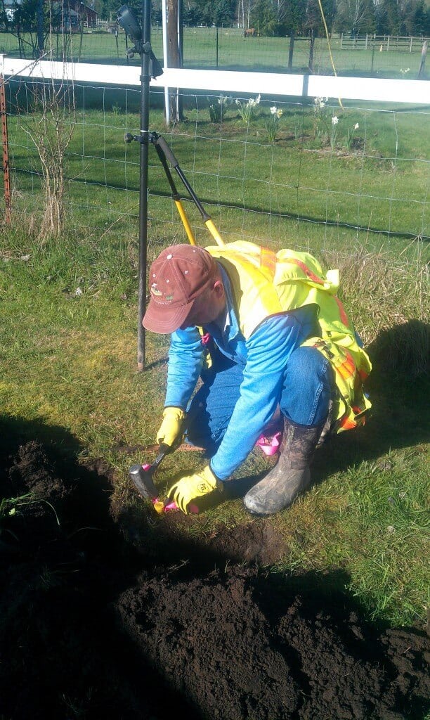
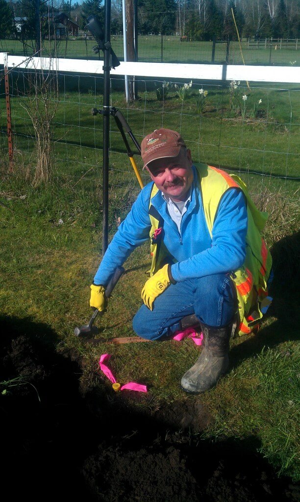
I finally got to set my 1st “Ag Geo NW LLC” property corners on a project.
All my property surveys up to this point did not require setting missing monuments
Last Friday I filed my 1st ROS (Record of Survey) that goes along with setting these monuments.
For those that do not know much about property surveying, if we set one or more property corners on a project we are required by State law for surveying to file a Record Drawing with the County of the property being surveyed. Theses drawings needs to meet State and County requirements for details and information that we include on drawing for what we found, how we resolved the boundaries and what we set for corners.
Here is my YPC (Yellow Plastic Cap) stamped with my business name for other to know who set the property corner. I set these on top of a 5/8″ by 30″ rebar I drive into the ground to within approximate +/- 4″ of surface either up, down or flush depending on area conditions.

Of course, setting property corners is not always glorious and many times challenging. Most locations are at corners of properties that are usually not well groomed and contain overgrown brush, fences or trees to deal with!
On the way to this next location we started out by ducking and dodging through probably 300 feet of an over grown Christmas tree farm and berries only to end up about 40 feet from this location on the other side of this berry patch with no brushing gear. I knew this ditch was here and figured the water to be much deeper from previous site work which was the reason for trying another approach. Guess that did not work!

When I started this project a few weeks ago it was during our snow & ice storm followed by rains. At that time while I was searching for existing property corners this ditch was probably 2 feet deeper with water and flowing faster.
Blessed that the conditions were much better this time!