Here is a great project we have been working on and presented in a LinkedIn writeup by Paul Tice, of ToPa3D.
https://www.linkedin.com/pulse/agricultural-mapping-using-machine-learning-topa3d
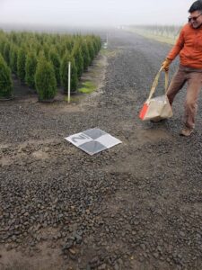
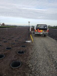
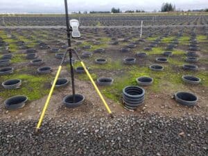
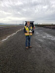
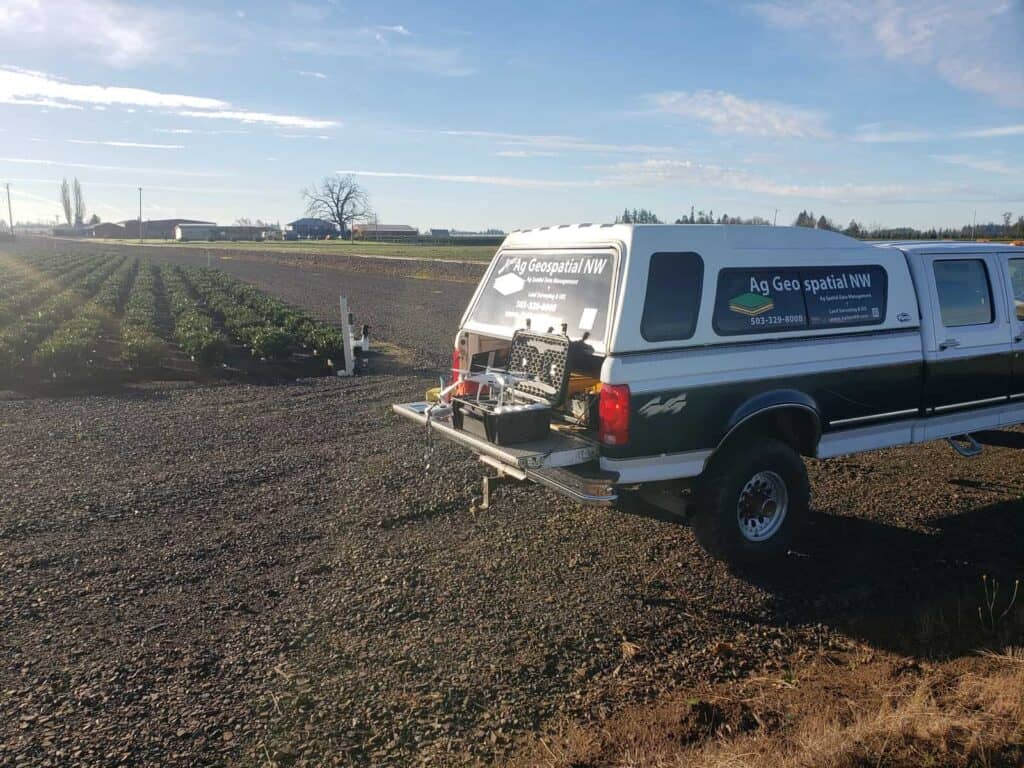
More photos of fieldwork.
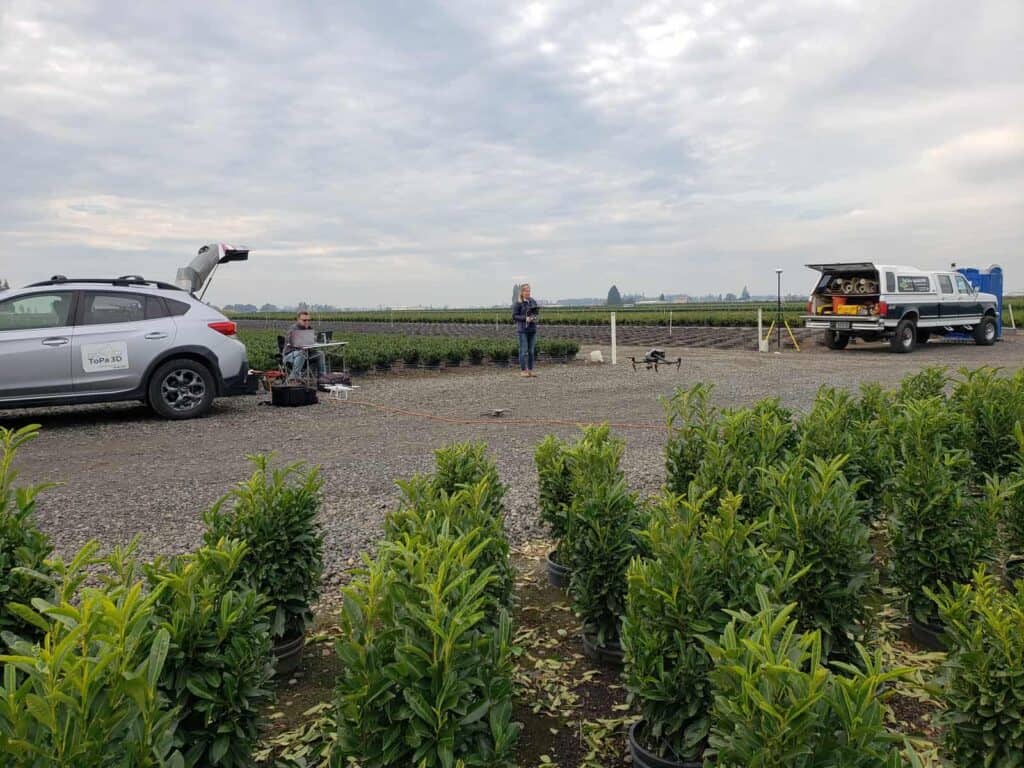
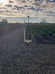
The process is to set GCPs around the open beds, fly the area, GPS GCPs, and collect random pot center locations for checks.
Open pots to map vary depending on what is being shipped or moved to different locations all the time with about 200 acres of pot in pots. The beds are either small 6-gallon pots which run 10 wide in a bed or about 5700 pots per acre and large 10-gallon pots which run 8 wide in a bed or about 3500 per acre.